
Stage 03
Charterhall Airfield (EGFQ) to Fife Airport (EGPJ)
Scottish Borders, Firth of Forth & Kingdom of Fife
Distance
52.4 NM
52.4 NM
Est. Time (ETE)
00h 38m
00h 38m
Target Alt
2,000–2,500 ft
2,000–2,500 ft
Touch & Gos
1 Airfield
1 Airfield
Route Map & Radio Navaids Visual

TLA VOR/DME (113.80): Outbound reference across Lammermuir Hills (R-055)
PTH VOR/DME (112.40): Inbound tracking across Firth of Forth to Fife (R-115)
EDINBURGH RADAR (121.205): Lower airspace radar service / CTR avoidance
Navigation & Waypoint Breakdown
| Ident | Type | Track (°M) | Nav Aid / Radial | Alt | Leg | Total | ETE | Landmarks & Notes |
|---|---|---|---|---|---|---|---|---|
| EGFQ | Departure | — | TLA 113.80 R-105 | 380 ft | 0.0 NM | 0.0 NM | 00:00 | Depart Charterhall north over the Lammermuir Hills. |
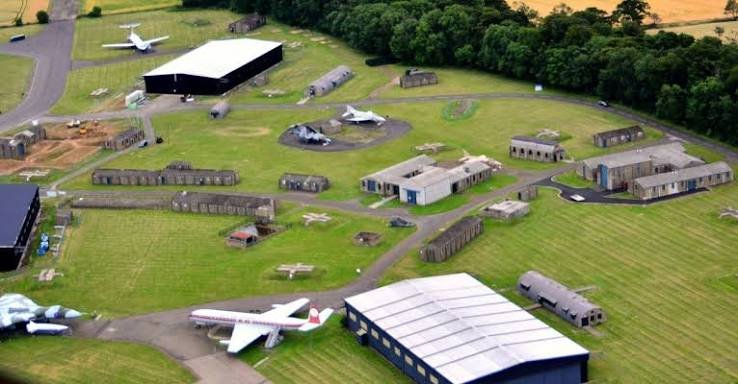
| EGHA | Touch & Go | 348° | TLA 113.80 R-055 | Circuit | 21.2 NM | 21.2 NM | 00:15 | East Fortune (Museum of Flight); touch & go on historical runway. |
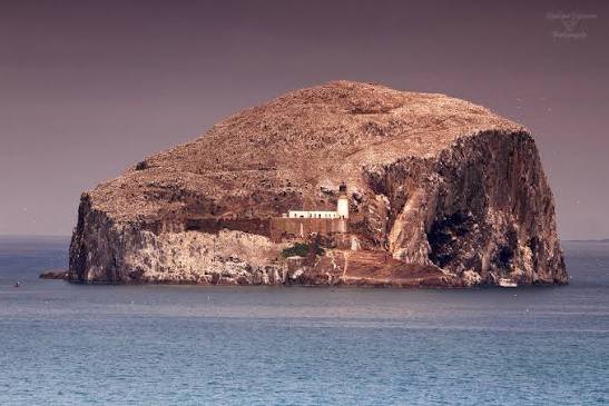
| BASSROCK | Coastal VRP | 020° | TLA 113.80 R-048 | 2,500 ft | 5.0 NM | 26.2 NM | 00:19 | Steep volcanic crag island in the Forth; turn west for water transit. |
| LETHANGIE | Inland VRP | 292° | PTH 112.40 R-115 | 2,000 ft | 24.1 NM | 50.3 NM | 00:36 | Cross Firth of Forth north of Edinburgh CTR; identify Loch Leven. |
| EGPJ | Arrival | 245° | PTH 112.40 R-130 | 400 ft | 2.1 NM | 52.4 NM | 00:38 | Turn south into Fife Airport (Glenrothes) for full stop landing. |
Stage Highlights & Scenic Landmarks
Radio Navigation Frequencies
- Perth VOR/DME (PTH): 112.40 MHz
- Talla VOR/DME (TLA): 113.80 MHz
- Edinburgh Radar: 121.205 MHz
- Fife Radio / SafetyCom: 122.805 MHz
Local Cautions & Airspace
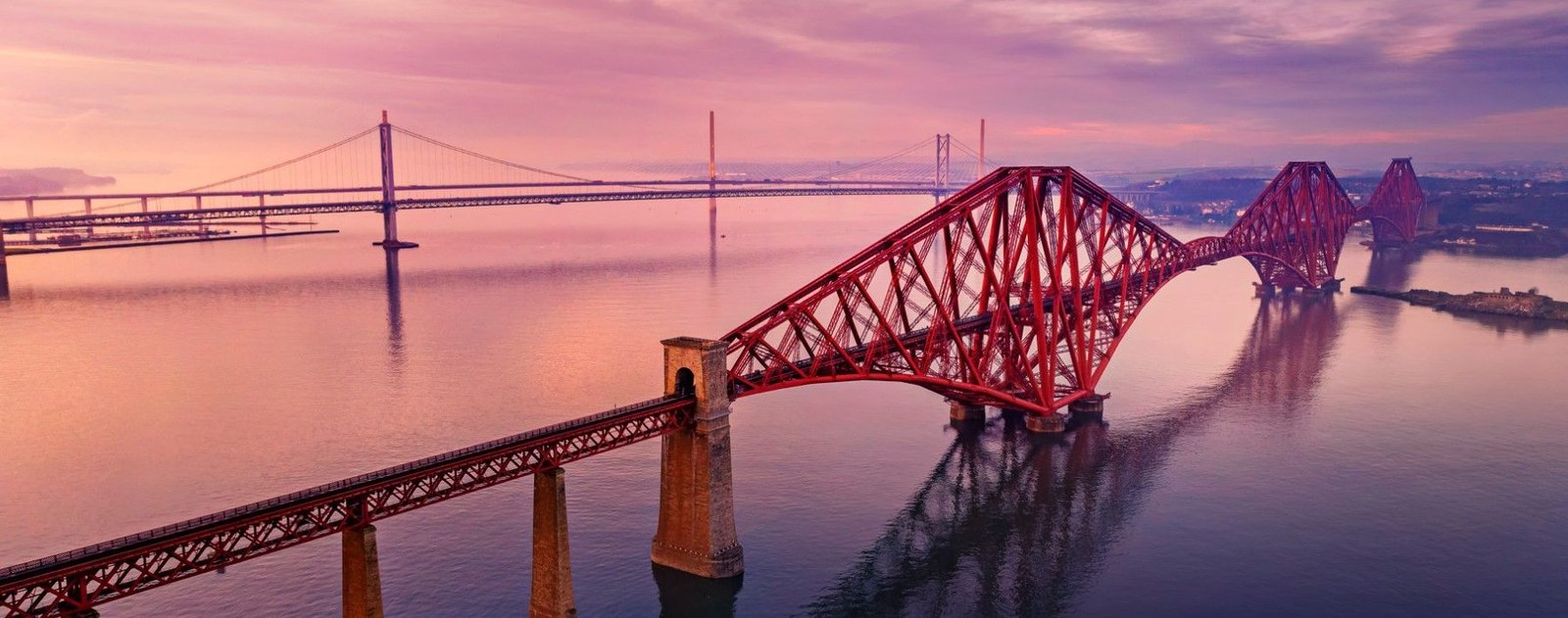
- Edinburgh Controlled Airspace: Class D CTR/CTA bounds the water transit to the south. Maintain 2,000–2,500 ft and remain well east of the Forth Bridges unless cleared.
- Bird Strike Hazard: High risk of seabird concentration (gannets, gulls) around Bass Rock and Firth of Forth coastal margins.
- Fife Circuit: Standard left-hand circuits; watch for light training aircraft operating on Runway 06/24.
Download MSFS Flight Plan (.PLN)
Copy the XML snippet below and save it as UK_Coastal_Stage_03.pln to load directly into Microsoft Flight Simulator:
<?xml version="1.0" encoding="UTF-8"?>
<SimBase.Document>
    <FlightPlan.FlightPlan>
        <Title>EGFQ to EGPJ Stage 3 UK Coastal Circumnavigation</Title>
        <FPType>VFR</FPType>
        <RouteType>Direct</RouteType>
        <CruisingAlt>2500</CruisingAlt>
        <DepartureID>EGFQ</DepartureID>
        <DepartureLLA>N55° 42' 18.00",W2° 21' 40.00",+000380.00</DepartureLLA>
        <DestinationID>EGPJ</DestinationID>
        <DestinationLLA>N56° 11' 00.00",W3° 13' 10.00",+000400.00</DestinationLLA>
        <ATCWaypoint id="EGFQ">
            <ATCWaypointType>Airport</ATCWaypointType>
            <WorldPosition>N55° 42' 18.00",W2° 21' 40.00",+000380.00</WorldPosition>
            <ICAO><ICAORegion>EG</ICAORegion><ICAOIdent>EGFQ</ICAOIdent></ICAO>
        </ATCWaypoint>
        <ATCWaypoint id="EGHA">
            <ATCWaypointType>Airport</ATCWaypointType>
            <WorldPosition>N55° 59' 32.00",W2° 43' 00.00",+000160.00</WorldPosition>
            <ICAO><ICAORegion>EG</ICAORegion><ICAOIdent>EGHA</ICAOIdent></ICAO>
        </ATCWaypoint>
        <ATCWaypoint id="BASSROCK">
            <ATCWaypointType>User</ATCWaypointType>
            <WorldPosition>N56° 04' 36.00",W2° 38' 24.00",+002500.00</WorldPosition>
        </ATCWaypoint>
        <ATCWaypoint id="LETHANGIE">
            <ATCWaypointType>User</ATCWaypointType>
            <WorldPosition>N56° 13' 12.00",W3° 24' 18.00",+002000.00</WorldPosition>
        </ATCWaypoint>
        <ATCWaypoint id="EGPJ">
            <ATCWaypointType>Airport</ATCWaypointType>
            <WorldPosition>N56° 11' 00.00",W3° 13' 10.00",+000400.00</WorldPosition>
            <ICAO><ICAORegion>EG</ICAORegion><ICAOIdent>EGPJ</ICAOIdent></ICAO>
        </ATCWaypoint>
    </FlightPlan.FlightPlan>
</SimBase.Document>