
Stage 06
Inverness Airport (EGPE) to Kirkwall (EGPA)
Scottish Highlands to the Orkney Islands
Distance
103.0 NM
103.0 NM
Est. Time (ETE)
01h 02m
01h 02m
Target Alt
2,500–3,500 ft
2,500–3,500 ft
Touch & Gos
0 (Full Stop)
0 (Full Stop)
Route Map & Radio Navaids Visual
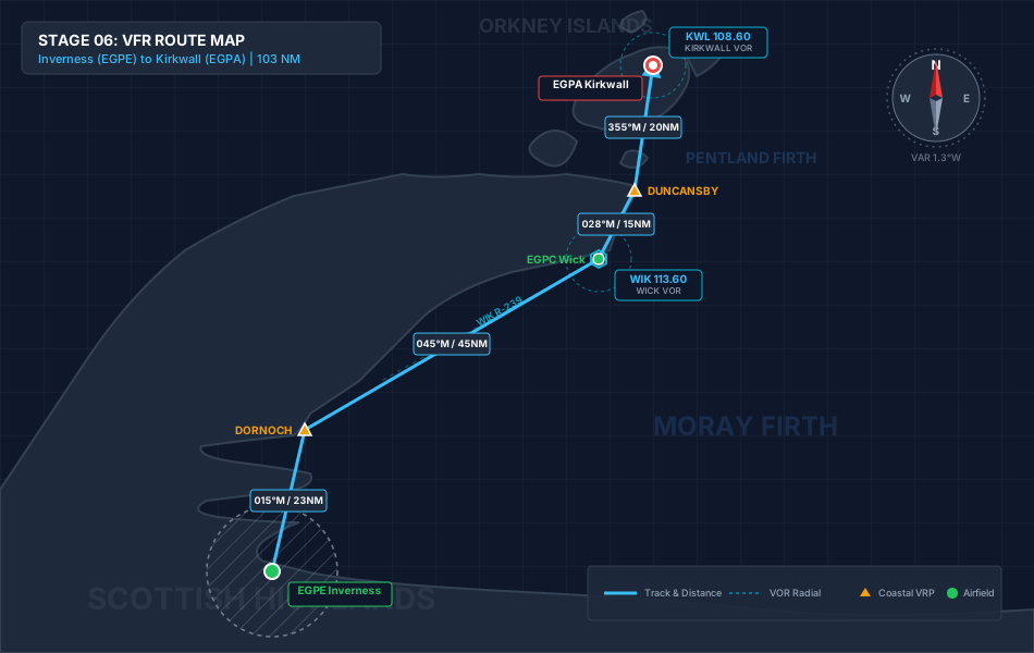
WIK VOR/DME (113.60): Outbound reference for mainland coastal tracking
KWL VOR/DME (108.60): Over-water approach and tracking into Orkney
SCOTTISH INFO (119.875): Basic service for traffic awareness outside controlled airspace
Navigation & Waypoint Breakdown
| Ident | Type | Track (°M) | Nav Aid / Radial | Alt | Leg | Total | ETE | Landmarks & Notes |
|---|---|---|---|---|---|---|---|---|
| EGPE | Departure | — | INS 109.20 R-015 | 31 ft | 0.0 NM | 0.0 NM | 00:00 | Depart Inverness; track north across the Black Isle to exit CTR. |
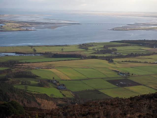
| DORNOCH | Coastal VRP | 015° | WIK 113.60 R-239 | 3,000 ft | 23.0 NM | 23.0 NM | 00:13 | Dornoch Firth crossing; track northeast up the Sutherland coast. |
| EGPC | Reporting Pt | 045° | WIK 113.60 R-028 | 3,000 ft | 45.0 NM | 68.0 NM | 00:40 | Wick Airfield; transition coastal cliffs tracking towards Duncansby. |
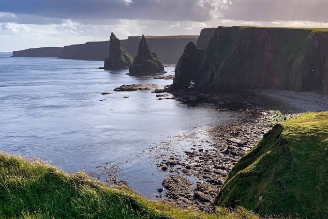
| DUNCANSBY | Coastal VRP | 028° | KWL 108.60 R-175 | 3,500 ft | 15.0 NM | 83.0 NM | 00:49 | Pass sea stacks at Duncansby Head; prepare for over-water crossing. |
| EGPA | Arrival | 355° | KWL 108.60 R-355 | 52 ft | 20.0 NM | 103.0 NM | 01:02 | Cross Pentland Firth; enter Orkney airspace for full-stop at Kirkwall. |
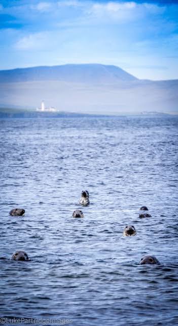
Stage Highlights & Scenic Landmarks
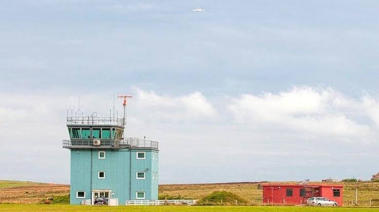
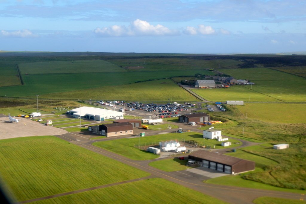
Radio Navigation Frequencies
- Wick VOR/DME (WIK): 113.60 MHz
- Kirkwall VOR/DME (KWL): 108.60 MHz
- Inverness Tower: 118.405 MHz
- Scottish Information: 119.875 MHz
Local Cautions & Procedures
- Over-Water Safety: A 20 NM crossing over cold, turbulent water requires adequate preparation. Immersion suits and a life raft are highly recommended for the Pentland Firth crossing.
- Weather Shifts: Coastal Haar (sea fog) can roll in rapidly along the Caithness coast and Orkney. Ensure strict adherence to VFR weather minimums.
- Inverness Departure: Standard Class D exit procedures apply. Maintain two-way radio comms until cleared en-route by Inverness Radar.
Download MSFS Flight Plan (.PLN)
Copy the XML snippet below and save it as UK_Coastal_Stage_06.pln to load directly into Microsoft Flight Simulator:
<?xml version="1.0" encoding="UTF-8"?>
<SimBase.Document>
    <FlightPlan.FlightPlan>
        <Title>EGPE to EGPA Stage 6 UK Coastal Circumnavigation</Title>
        <FPType>VFR</FPType>
        <RouteType>Direct</RouteType>
        <CruisingAlt>3000</CruisingAlt>
        <DepartureID>EGPE</DepartureID>
        <DepartureLLA>N57° 32' 24.00",W4° 03' 00.00",+000031.00</DepartureLLA>
        <DestinationID>EGPA</DestinationID>
        <DestinationLLA>N58° 57' 17.00",W2° 54' 12.00",+000052.00</DestinationLLA>
        <ATCWaypoint id="EGPE">
            <ATCWaypointType>Airport</ATCWaypointType>
            <WorldPosition>N57° 32' 24.00",W4° 03' 00.00",+000031.00</WorldPosition>
            <ICAO><ICAORegion>EG</ICAORegion><ICAOIdent>EGPE</ICAOIdent></ICAO>
        </ATCWaypoint>
        <ATCWaypoint id="DORNOCH">
            <ATCWaypointType>User</ATCWaypointType>
            <WorldPosition>N57° 52' 00.00",W3° 58' 00.00",+003000.00</WorldPosition>
        </ATCWaypoint>
        <ATCWaypoint id="EGPC">
            <ATCWaypointType>Airport</ATCWaypointType>
            <WorldPosition>N58° 27' 32.00",W3° 05' 35.00",+003000.00</WorldPosition>
            <ICAO><ICAORegion>EG</ICAORegion><ICAOIdent>EGPC</ICAOIdent></ICAO>
        </ATCWaypoint>
        <ATCWaypoint id="DUNCANSBY">
            <ATCWaypointType>User</ATCWaypointType>
            <WorldPosition>N58° 38' 40.00",W3° 01' 25.00",+003500.00</WorldPosition>
        </ATCWaypoint>
        <ATCWaypoint id="EGPA">
            <ATCWaypointType>Airport</ATCWaypointType>
            <WorldPosition>N58° 57' 17.00",W2° 54' 12.00",+000052.00</WorldPosition>
            <ICAO><ICAORegion>EG</ICAORegion><ICAOIdent>EGPA</ICAOIdent></ICAO>
        </ATCWaypoint>
    </FlightPlan.FlightPlan>
</SimBase.Document>