
Stage 01
North Coates (EG0E) to Eshott Airfield (EGFL)
Humber Estuary to the Northumberland Coast
Distance
158.3 NM
158.3 NM
Est. Time (ETE)
01h 15m
01h 15m
Target Alt
1,500–2,000 ft
1,500–2,000 ft
Touch & Gos
3 Airfields
3 Airfields
Stage 1 guides you from the bustling maritime and trading roots of the Humber Estuary and the proud industrial and shipbuilding heritage of Teesside and the North East, up to the independent spirit of Northumberland, historically forged through border conflicts and castle-defended shores.
The journey begins at North Coates Flying Club, visits the Spurn Point Lighthouse spit and a delivers a challenging touch-and-go at Hollym Airfield’s cliff-edge grass strip.
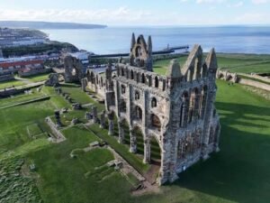
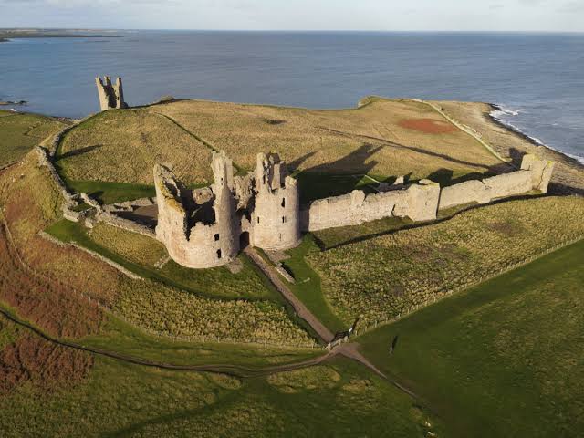
Continuing north, you’ll navigate the sheer white chalk cliffs and seabird colonies of Flamborough Head, stop at Bridlington Aerodrome (if you can find it), track past Robin Hood’s Bay directly over the gothic ruins of Whitby Abbey, and perform a low approach near Redcar, before utilising the 14th-century ruins of Dunstanburgh Castle as your final turn inland toward a full-stop arrival at Eshott Airfield.
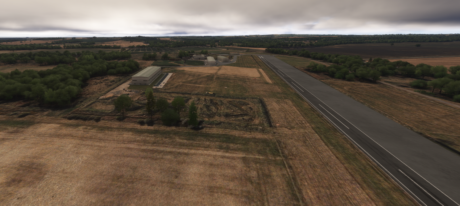
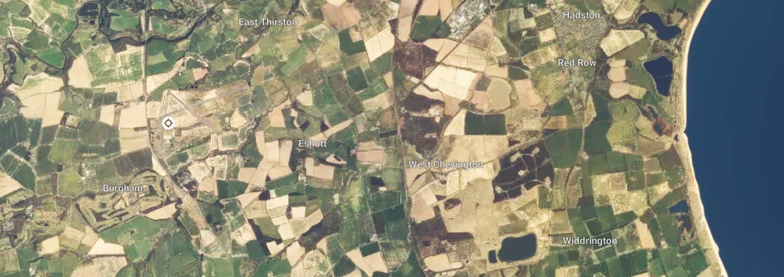
Formerly RAF Eshott, the airfield was born during World War II as a home to the No. 57 Operational Training Unit (OTU), where hundreds of pilots trained on Supermarine Spitfires before active service.
Route Map & Radio Navaids Visual
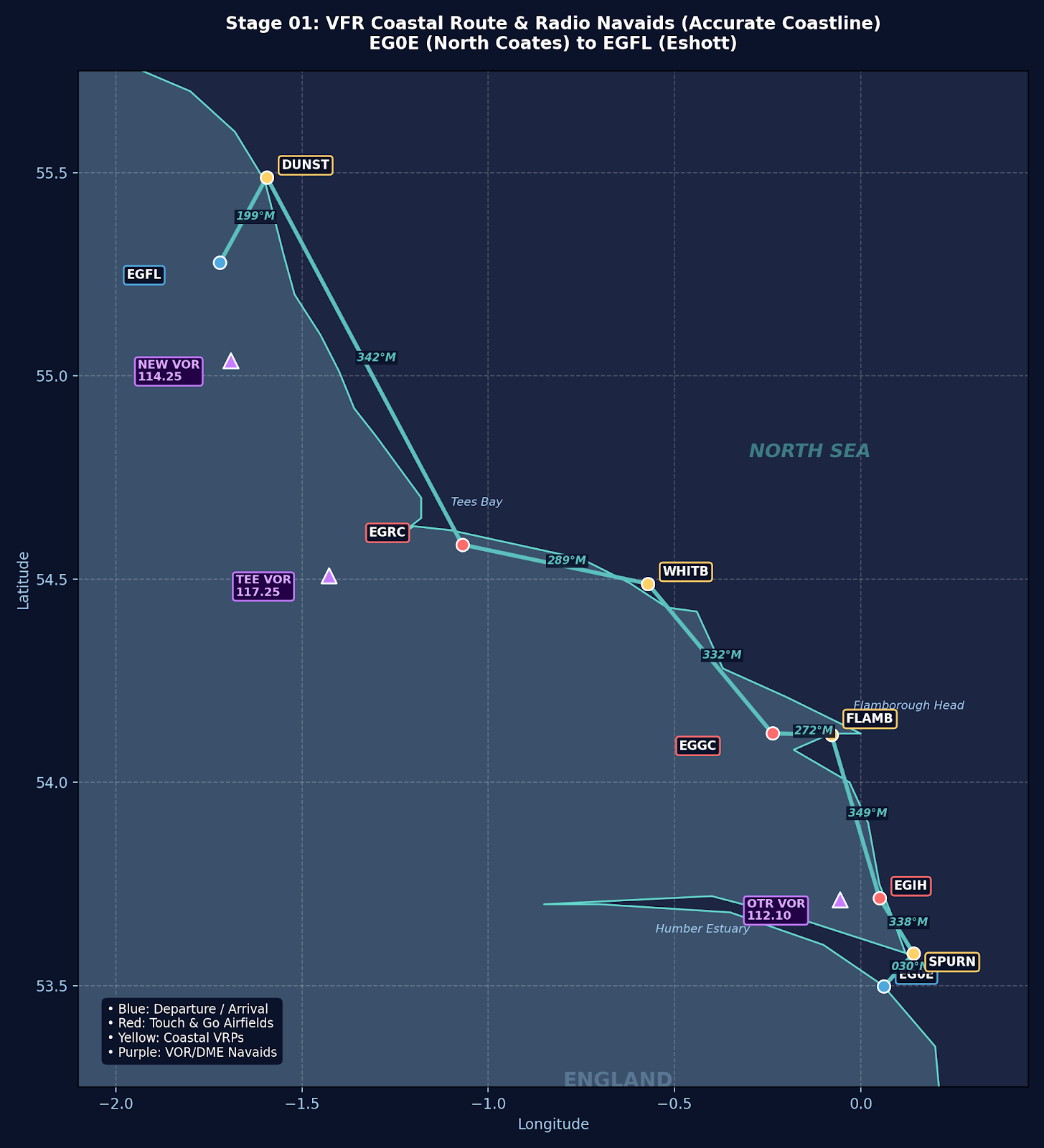
OTR VOR/DME (113.90): Covers Spurn Point (R-045) & Hollym
TEE VOR/DME (117.25): Tracks Whitby Abbey (R-122) & Yearby (R-085)
NEW VOR/DME (114.25): Fixes Dunstanburgh Castle (R-035) & Inbound EGFL
Navigation & Waypoint Breakdown
| Ident | Type | Track (°M) | Nav Aid / Radial | Alt | Leg | Total | ETE | Landmarks & Notes |
|---|---|---|---|---|---|---|---|---|
| EG0E | Departure | — | — | 8 ft | 0.0 NM | 0.0 NM | 00:00 | Takeoff North Coates; turn right out over the coast. |
| SPURN | Coastal VRP | 030° | OTR 113.90 R-045 | 2,000 ft | 5.6 NM | 5.6 NM | 00:02 | Track over Spurn Point Lighthouse; turn north along spit. |
| EGIH | Touch & Go | 338° | OTR 113.90 R-010 | Circuit | 8.8 NM | 14.5 NM | 00:09 | Hollym Airfield; grass strip right on the cliff edge. |
| FLAMB | Coastal VRP | 349° | BNN 334.0 NDB | 2,000 ft | 24.5 NM | 39.0 NM | 00:19 | Hug dramatic chalk cliffs at Flamborough Head Lighthouse. |
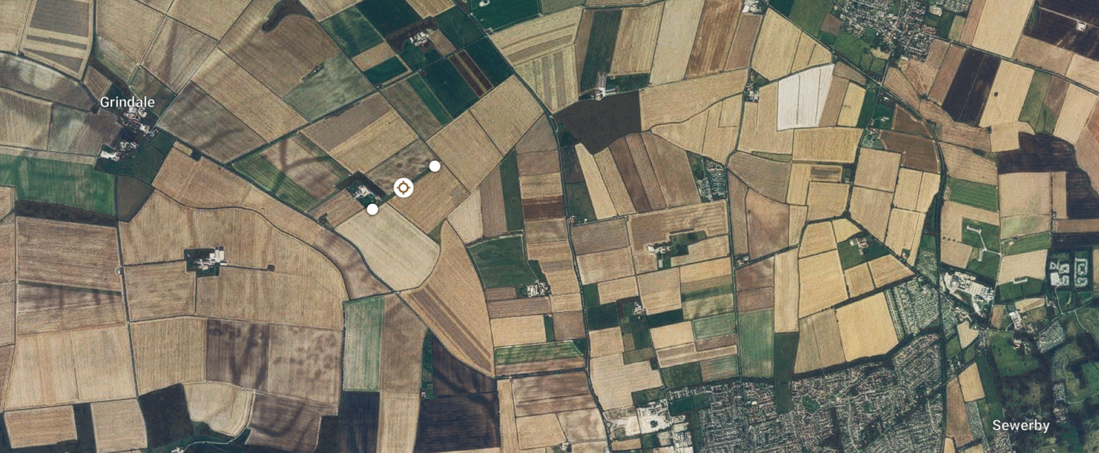
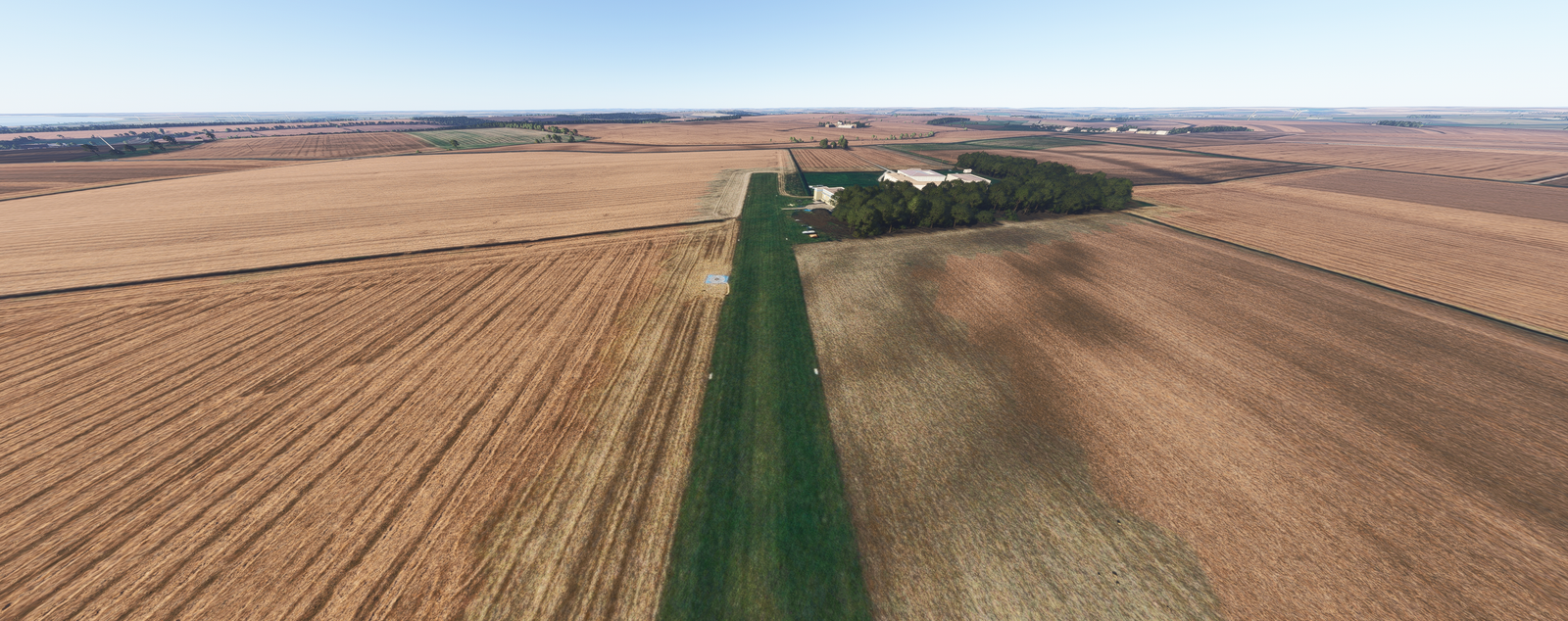
| EGGC | Touch & Go | 272° | OTR 113.90 R-345 | Circuit | 5.6 NM | 44.5 NM | 00:24 | Bridlington Aerodrome (Grass); touch & go, track north. |
| WHITB | Coastal VRP | 332° | TEE 117.25 R-122 | 2,000 ft | 25.0 NM | 69.5 NM | 00:35 | Route past Robin Hood’s Bay directly over Whitby Abbey. |
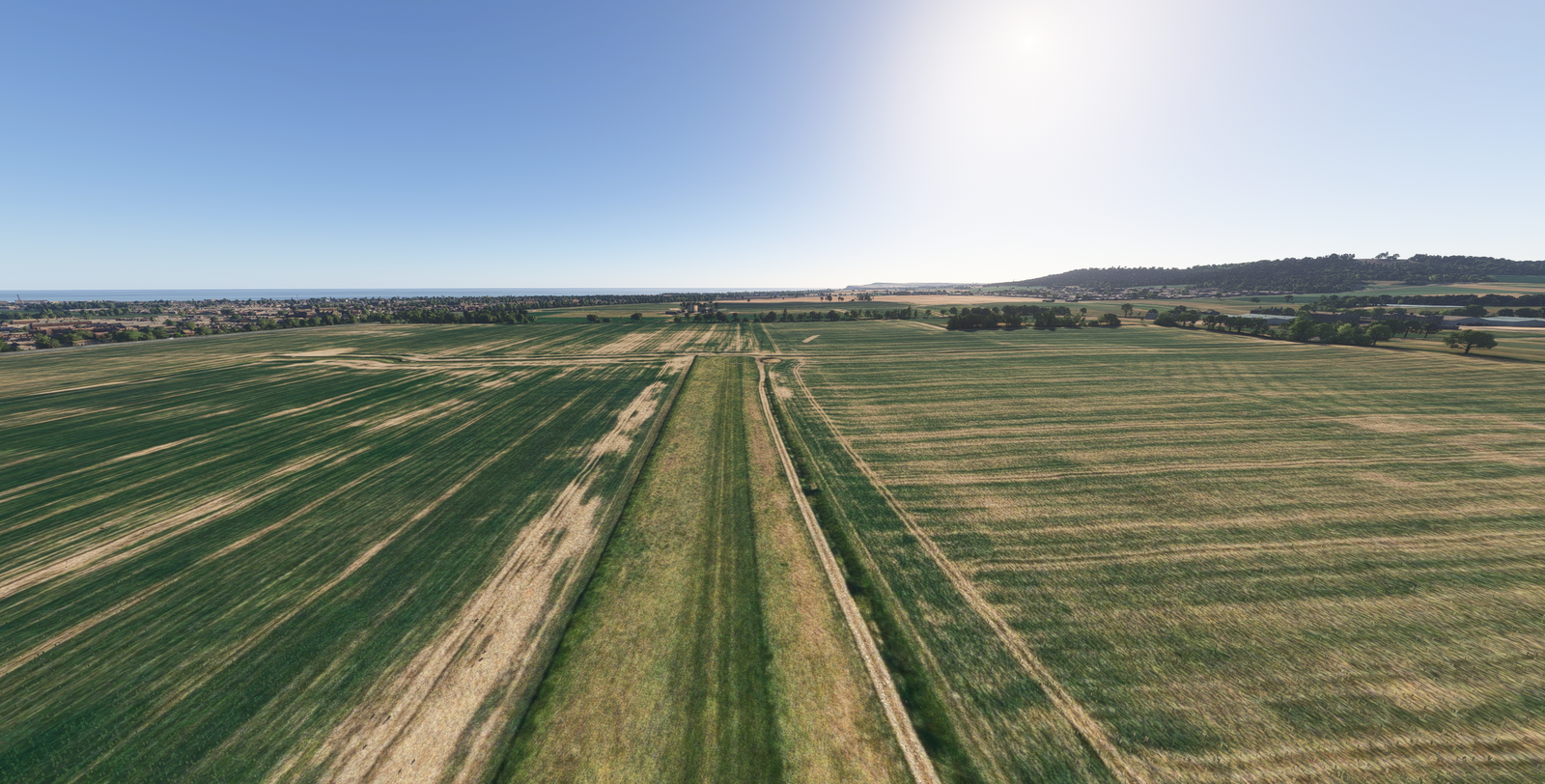
| EGRC | Touch & Go | 289° | TEE 117.25 R-085 | Circuit | 18.3 NM | 87.8 NM | 00:45 | Yearby Airstrip; low approach / TNG near Redcar. |
| DUNST | Coastal VRP | 342° | NEW 114.25 R-035 | 2,000 ft | 57.2 NM | 145.0 NM | 01:09 | Cross Tyne & Coquet Island to Dunstanburgh Castle. |
| EGFL | Arrival | 199° | NEW 367.5 NDB | 197 ft | 13.3 NM | 158.3 NM | 01:15 | Turn southwest off coast for full stop at Eshott. |
Stage Highlights & Scenic Landmarks

Radio Navigation Frequencies
- Ottringham VOR/DME (OTR): 113.90 MHz
- Teesside VOR/DME (TEE): 117.25 MHz
- Newcastle VOR/DME (NEW): 114.25 MHz
- Newcastle NDB (NEW): 367.5 kHz
Local Cautions & Procedures
- Seabird Warning: Bempton Cliffs (Flamborough) has heavy seabird populations. Maintain 1,500+ ft AGL clear of cliffs.
- Teesside Airspace: Monitor Teesside Radar (118.850 MHz) when crossing the Tees Estuary near Yearby.
- Eshott Join: Standard overhead join at 1,200 ft QFE. Watch for microlight traffic.
North Coates Flying Club (EG0E) Departure
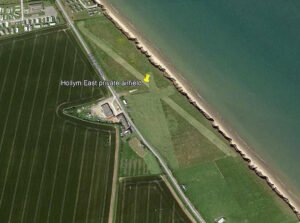
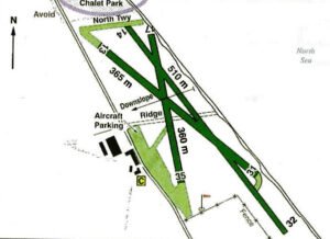
Hollym Airfield (EGIH) Touch & Go
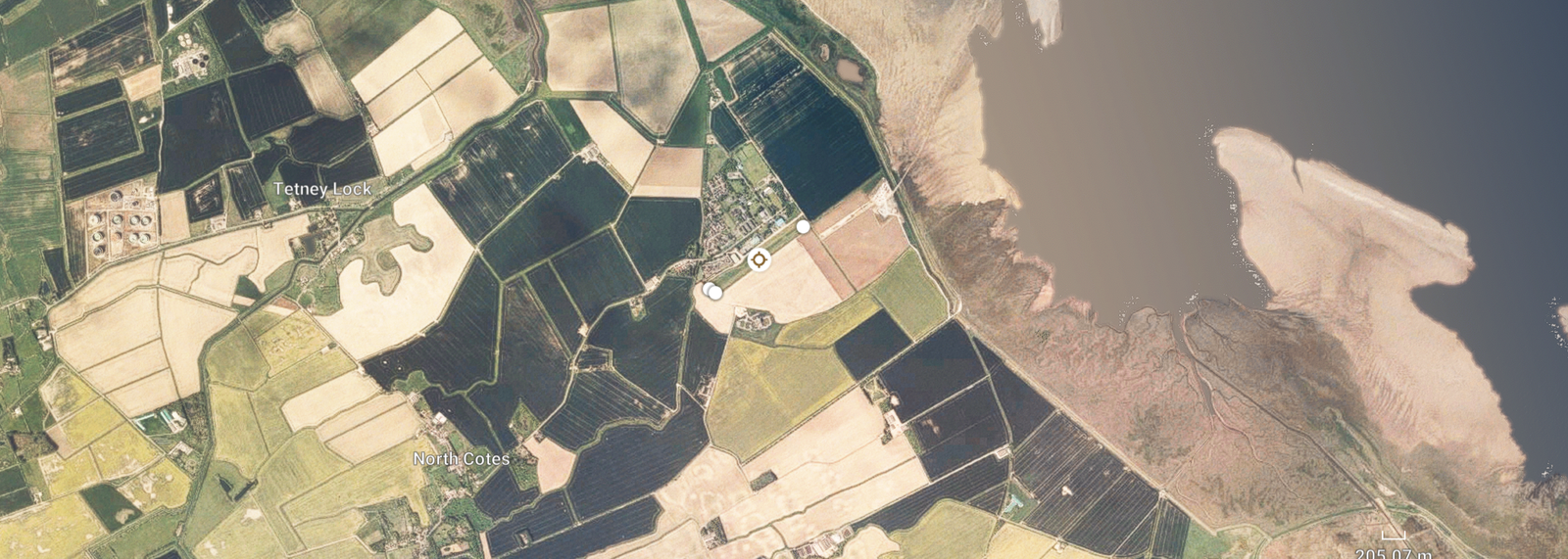
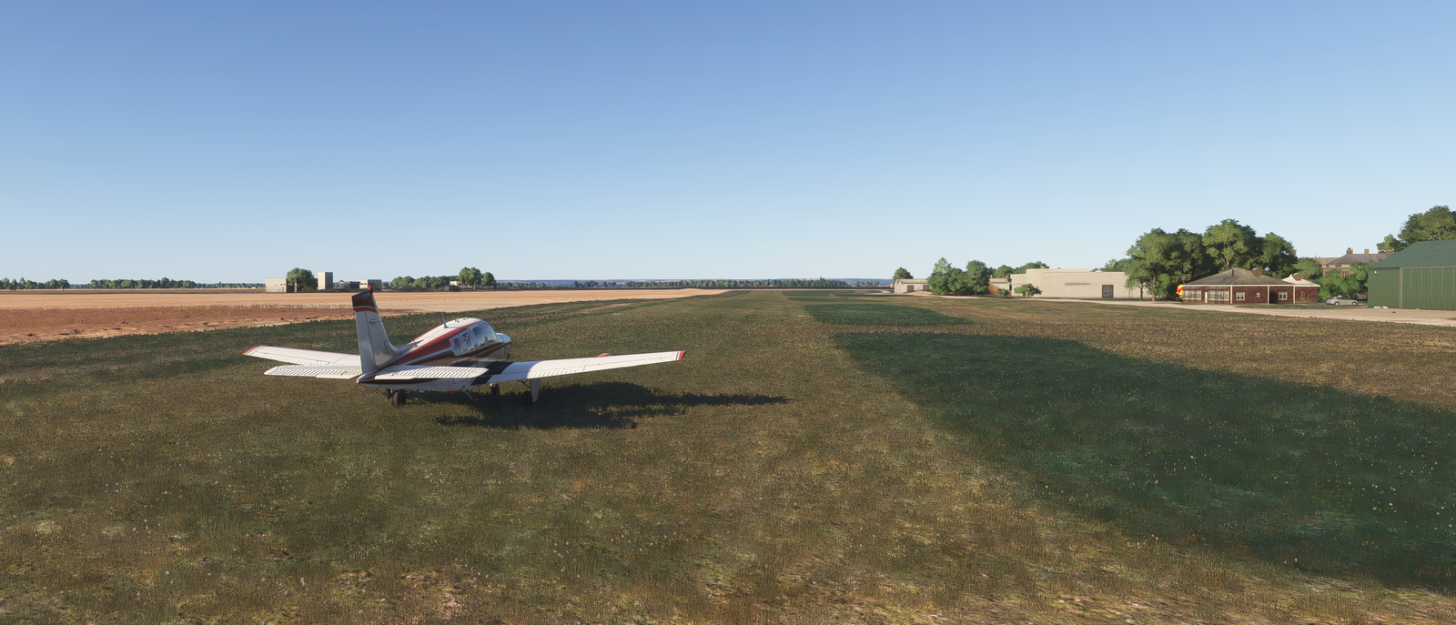
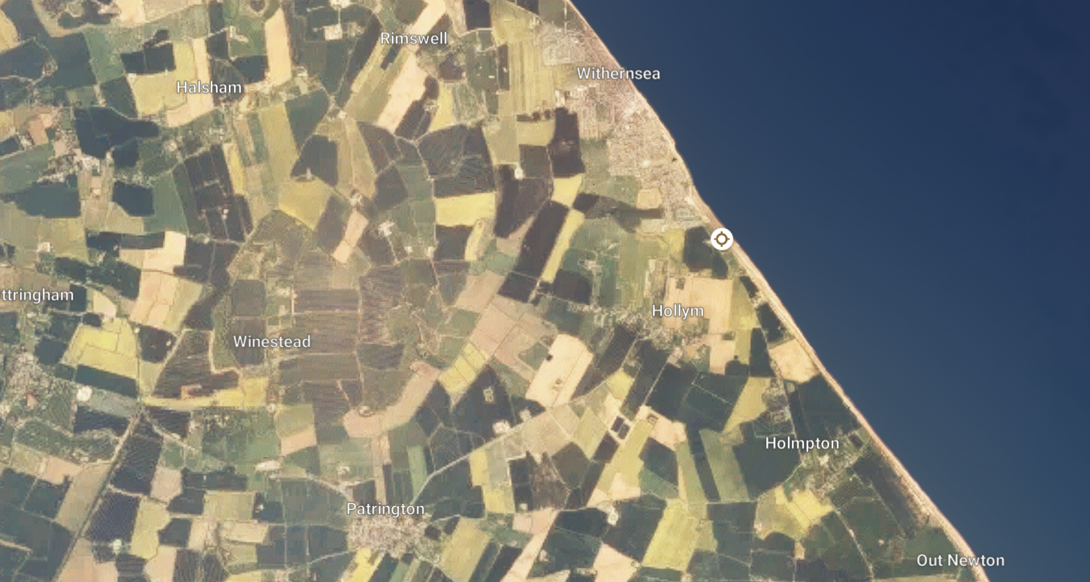
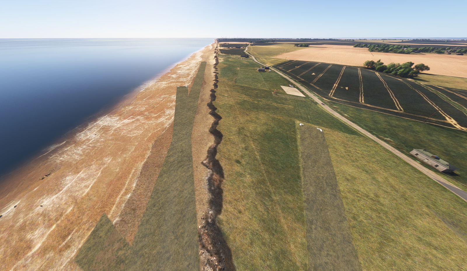
A true coastal grass strip sitting directly on the cliff edge above the beach. Coastal erosion makes this approach one of the most unique and thrilling short-field Touch & Gos along the Holderness Coast.
Bridlington Aerodrome (EGGC) Touch & Go
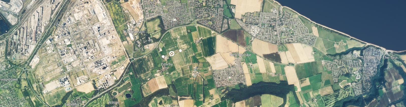
Yearby Airstrip (EGRC) Touch & Go
Eshott Airfield (EGFL) Arrival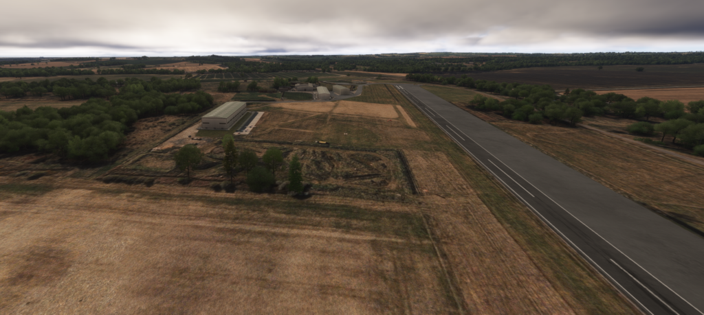
Download MSFS Flight Plan (.PLN)
Copy the XML snippet below and save it as UK_Coastal_Stage_01.pln to load directly into Microsoft Flight Simulator:
<?xml version="1.0" encoding="UTF-8"?>
<SimBase.Document>
    <FlightPlan.FlightPlan>
        <Title>EG0E to EGFL Stage 1 UK Coastal Circumnavigation</Title>
        <FPType>VFR</FPType>
        <RouteType>Direct</RouteType>
        <CruisingAlt>2000</CruisingAlt>
        <DepartureID>EG0E</DepartureID>
        <DepartureLLA>N53° 29' 52.00",E0° 3' 43.00",+000008.00</DepartureLLA>
        <DestinationID>EGFL</DestinationID>
        <DestinationLLA>N55° 16' 42.00",W1° 43' 13.00",+000196.50</DestinationLLA>
        <ATCWaypoint id="EG0E">
            <ATCWaypointType>Airport</ATCWaypointType>
            <WorldPosition>N53° 29' 52.02",E0° 3' 43.25",+000008.00</WorldPosition>
            <ICAO><ICAORegion>EG</ICAORegion><ICAOIdent>EG0E</ICAOIdent></ICAO>
        </ATCWaypoint>
        <ATCWaypoint id="SPURN">
            <ATCWaypointType>User</ATCWaypointType>
            <WorldPosition>N53° 34' 42.96",E0° 8' 30.12",+002000.00</WorldPosition>
        </ATCWaypoint>
        <ATCWaypoint id="EGIH">
            <ATCWaypointType>Airport</ATCWaypointType>
            <WorldPosition>N53° 42' 55.55",E0° 3' 1.14",+000022.40</WorldPosition>
            <ICAO><ICAORegion>EG</ICAORegion><ICAOIdent>EGIH</ICAOIdent></ICAO>
        </ATCWaypoint>
        <ATCWaypoint id="FLAMB">
            <ATCWaypointType>User</ATCWaypointType>
            <WorldPosition>N54° 7' 0.12",W0° 4' 42.96",+002000.00</WorldPosition>
        </ATCWaypoint>
        <ATCWaypoint id="EGGC">
            <ATCWaypointType>Airport</ATCWaypointType>
            <WorldPosition>N54° 7' 13.47",W0° 14' 14.58",+000306.00</WorldPosition>
            <ICAO><ICAORegion>EG</ICAORegion><ICAOIdent>EGGC</ICAOIdent></ICAO>
        </ATCWaypoint>
        <ATCWaypoint id="WHITB">
            <ATCWaypointType>User</ATCWaypointType>
            <WorldPosition>N54° 29' 18.96",W0° 34' 17.04",+002000.00</WorldPosition>
        </ATCWaypoint>
        <ATCWaypoint id="EGRC">
            <ATCWaypointType>Airport</ATCWaypointType>
            <WorldPosition>N54° 35' 4.80",W1° 4' 11.22",+000085.70</WorldPosition>
            <ICAO><ICAORegion>EG</ICAORegion><ICAOIdent>EGRC</ICAOIdent></ICAO>
        </ATCWaypoint>
        <ATCWaypoint id="DUNST">
            <ATCWaypointType>User</ATCWaypointType>
            <WorldPosition>N55° 29' 18.96",W1° 35' 40.92",+002000.00</WorldPosition>
        </ATCWaypoint>
        <ATCWaypoint id="EGFL">
            <ATCWaypointType>Airport</ATCWaypointType>
            <WorldPosition>N55° 16' 42.06",W1° 43' 13.76",+000196.50</WorldPosition>
            <ICAO><ICAORegion>EG</ICAORegion><ICAOIdent>EGFL</ICAOIdent></ICAO>
        </ATCWaypoint>
    </FlightPlan.FlightPlan>
</SimBase.Document>